2018 FOSS4G
By
By
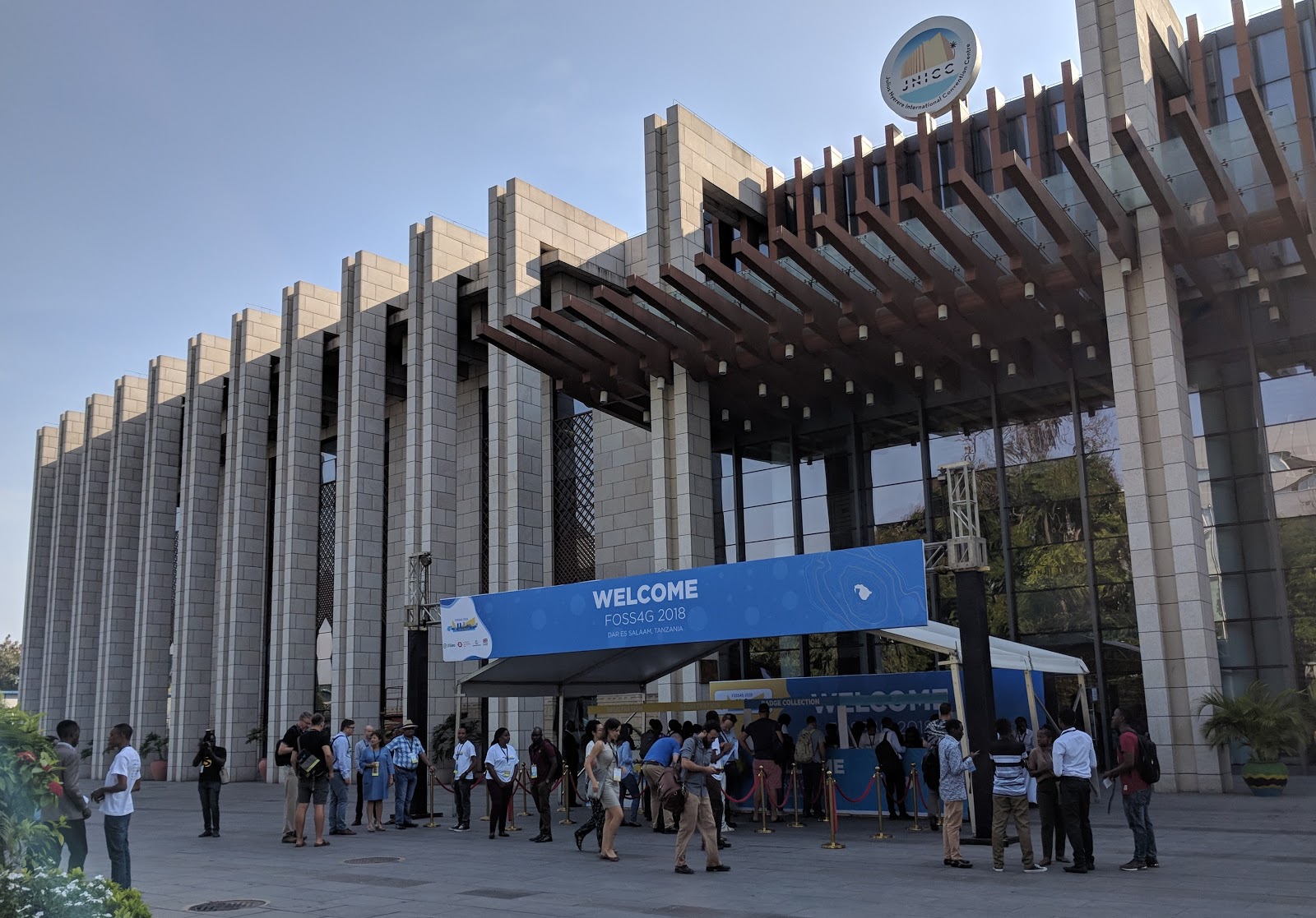
In late August of last year I was privileged to attend the Free and Open Source Software for Geospatial Conference (FOSS4G) in Dar es Salaam, Tanzania. This conference is hosted annually by the Open Source Geospatial Foundation (OSGeo) and it rotates between Europe (this year’s 2019 conference will be held in Bucharest, Romania), North America (the 2020 conference will be held in Calgary, Canada) and “other continents” which was represented by Africa in 2018 (and Asia via Seoul, Korea in 2015).
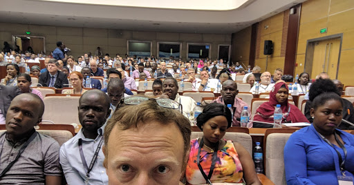
Needless to say, attending this particular FOSS4G was a tremendously unique experience and was unlike any other technology or geospatial conference I’ve participated in. Chief among the novel aspects of this conference was the diversity of the participants. Whether gender, or race, or economic means, Dar es Salaam achieved a mix of attendees that truly reflected the global interest in open geospatial technologies, and how those technologies are particularly well suited for the developing world.

In spite of the location in Tanzania, achieving this diversity was not a given, nor easy, and conference co-chairs Mark Iliffe and Msilikale Msilanga deserve huge credit for tireless work in creating avenues for broader participation. These mechanisms included securing Flagship Sponsor support from the World Bank Group to achieve core funding; working with OSGeo to create the largest ever Travel Grant Program for a FOSS4G Conference; partnering with Humanitarian Open Streetmap (HOTOSM) to co-locate their conference in Dar es Salaam; and creating a ticket price for African residents that was ~20% of the list price.
While a longstanding attendee and supporter of FOSS4G events (dating back to 2011), Dar es Salaam was the first FOSS4G I attended representing my new employer, Thermopylae Science & Technology (T-Sciences), and our involvement in the Open Google Earth Enterprise (OpenGEE) Project. Almost 8,000 miles from my home in Boston, it was gratifying to see a diverse group of people fill the room for my “What is Open Source Google Earth Enterprise (OpenGEE)” talk almost exactly one year after Google open sourced the GEE code base in 2017 (see TechCrunch article).

While the participants at this conference were a unique mix of people and perspectives, the core of the conference remained the same: a compelling and comprehensive reckoning of open source geospatial innovation and application. Some personal take homes for me included:
Although in Africa, most of the global themes and trends of geospatial practice were robustly represented. Talks on data collection with new sensors and carried by both drones and satellites were plentiful. Equally, there was extensive content on data supply chains for processing and analyzing these new data, often using machine learning (ML) and artificial intelligence (AI). Presentations on big data tooling, serverless architectures and the core updates to key open geospatial projects such as QGIS, GeoServer and PostGIS were also prominent.
Large companies such as Facebook, Google, Esri and Bing, alongside 18 smaller companies, participated in, and supported this event through sponsorship. I found Facebook’s talk on using big data and AI methods for locating and tagging-for-correction “data vandalism” (e.g., people using profanity for a street name) within OpenStreetmap (OSM) to be particularly interesting. Indeed, Facebook appears to be making major investments in OSM. This fact made me wonder whether after years of large companies supporting open source software (e.g., companies like Google, RedHat and IBM supporting Linux) is the tide shifting with very large companies now supporting open data?
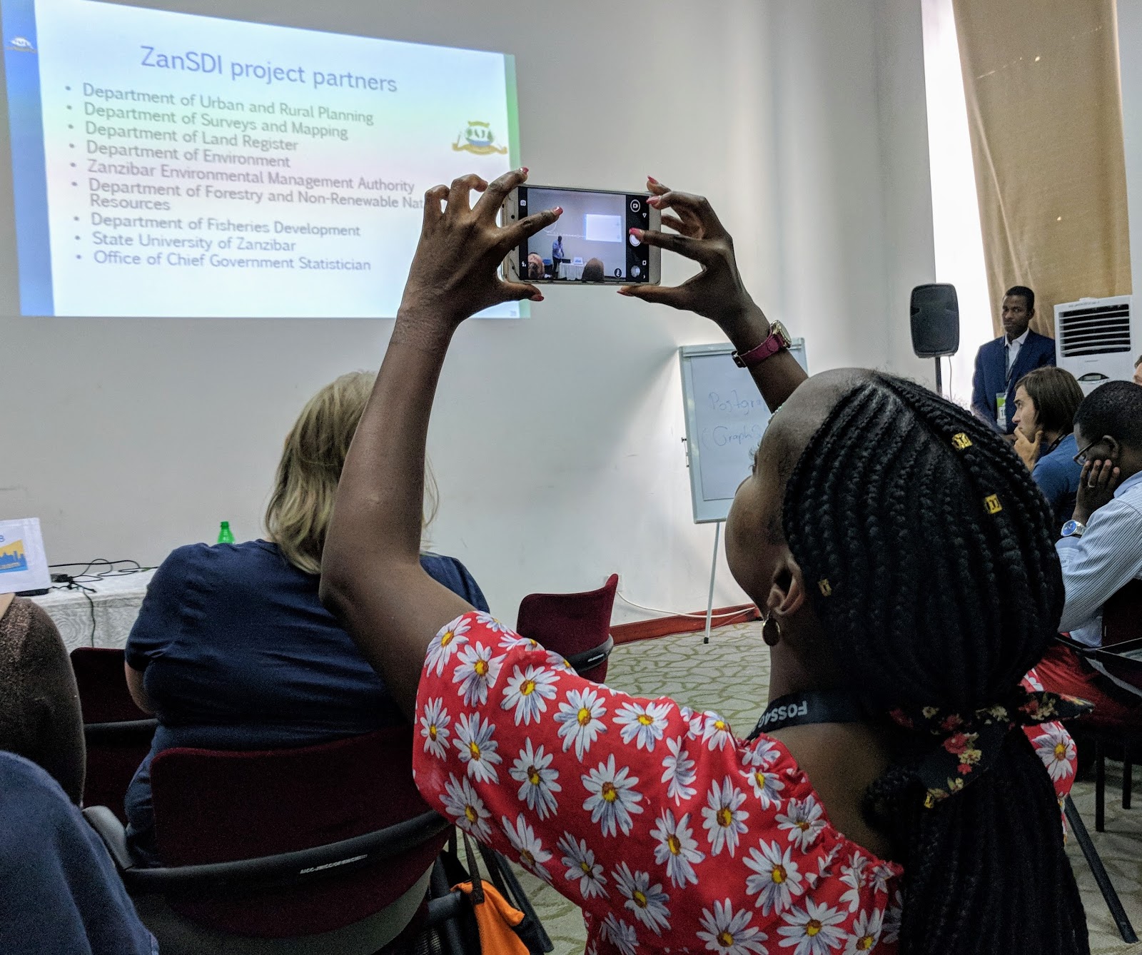
Another area where there was increased diversity was in the use cases that were on the agenda, particularly those emanating from the developing world. Ms. Neema Marema, from Hope for Women and Girls in Tanzania, gave a compelling keynote talk of the role of mapping in combating female genital mutilation and child marriage. Another compelling keynote was from Ms. Khadija Abdulla Ali who is leading an effort to build a high-resolution map of the 2,300 km2 island city-state of Zanzibar at an unprecedented low cost by utilizing drone/UAV technology (that she pilots). Other use cases centered on Africa and the developing world included: sustainable energy planning; natural resources and species protection; sustainable development and urbanization; food systems and agricultural practices; as well as emergency and catastrophe planning and response.

Here’s to a great 2019 where you can expect a variety of similarly interesting and productive open geospatial events where the OpenGEE project will be represented. I’ll hope to see you in San Diego for FOSS4G North America in April and/or in Bucharest for the 2019 Global FOSS4G in late August.
See earlier thoughts on FOSS4G in pre-conference blog.
Michael Terner
Thermopylae Science & Technology (T-Sciences)
@TernerGeo